Acknowledgement: Max Cusack, Precision Ag Marketing Manager, John Deere Limited – Australia and New Zealand
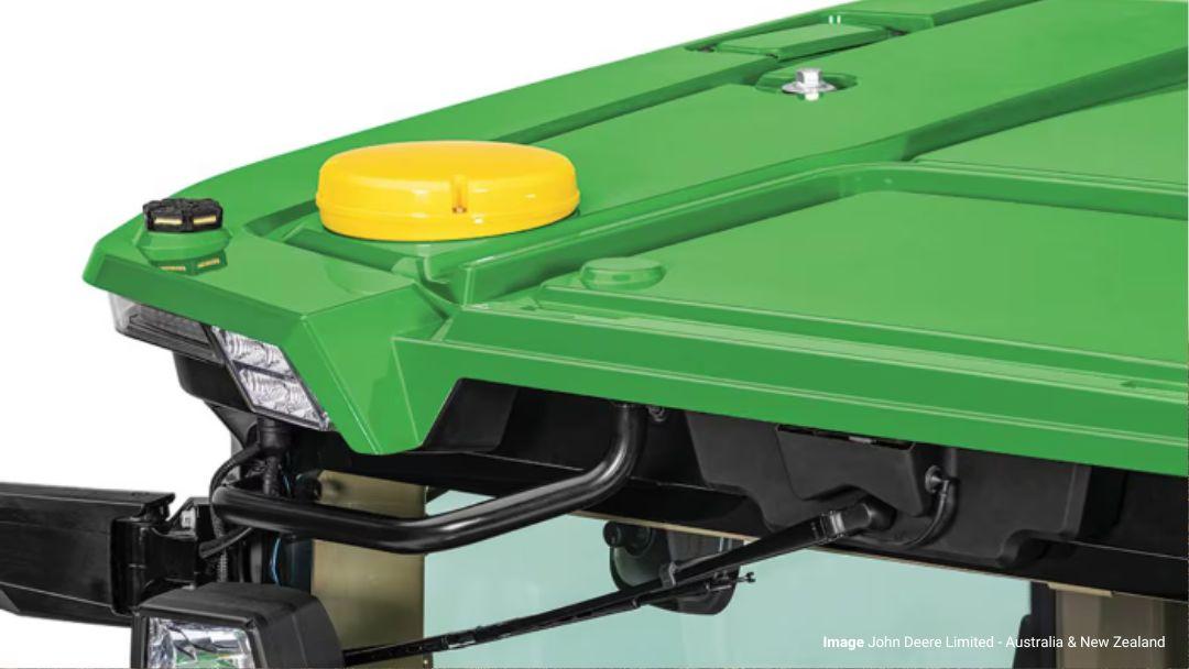
Image: John Deere Limited – Australia and New Zealand
Fixed on or off-farm base stations, mobile tripod mounted base stations, and to a lesser extent, CORS (Continuously Operating Reference Station) networks have serviced the 2.5 cm RTK guidance needs of Australian farmers for many years. For lesser degrees of accuracy, uncorrected satellite signals have been available since the advent of guidance technology. John Deere has now introduced the StarFire™ SF7500 receiver (superseding the previous SF7000 series) which gives 2.5 cm horizontal pass to pass accuracy and season to season long-term repeatability guaranteed using satellite correction with no need for a local base station and radio signal. Due to removing the reliance on a local base station, there are no constraints related to 20 km line of sight from the base that can be a problem in hilly or vegetated terrain. This is also an advantage for contractors and growers with paddocks dispersed over long distances.
The SF-RTK signal is not a direct equivalent to a local RTK base station, which will still be the most accurate and repeatable option. For horizontal applications such as tractor and implement guidance and documentation, the SF-RTK Signal can provide comparable performance and accuracy as a local RTK base station. When accuracy is required for vertical applications such as land forming, a local RTK base station is still the best option. In ideal conditions and proximity to the base station, operators can have repeatable accuracy of around 1 cm in horizontal applications using the SF7000 / SF7500 as a local RTK base station and a SF7000 / SF7500 receiver as a rover. For vertical applications, customers normally experience accuracies that are half that of horizontal measurements. Both horizontal and vertical accuracies degrade as users move further from the base station. It is recommended to be within 1 km of the base for operations requiring high accuracy.
SF-RTK uses four GNSS satellite constellations to increase the speed and accuracy at which a location can be detected (73% faster than SF3). It uses the BeiDou (Chinese) and Galileo (European) satellite constellations, in addition to the GPS (USA) and GLONASS (Russian) satellites already used for SF-3 correction signals. The addition of these other constellations requires a 7000 or 7500 series receiver to make use of SF-RTK.
The SF-RTK uses a global reference base station rather than a local base station to provide RTK corrections. For growers already using SF3, there will be no change in base station reference when upgrading to SF-RTK as both systems use the same global reference. If using RTK with a local base station, there will be differences in position of the AB lines and boundaries as there is no fixed relationship between the global reference and the local base location. In recognition of the importance of maintaining the same AB lines and boundaries for CTF systems, John Deere has released a function to correct shifts, guidance lines, boundaries and headlands from radio or other RTK forms to line up with SF RTK. This tool is available through dealers to help customers currently running radio RTK stations to use SF-RTK and maintain their permanent tramlines.
The SF-RTK system has a lower capital cost as it requires less hardware (no local base station or radio). As with radio RTK, there is an annual SF license fee per receiver.
New reference geodetic datum
Three years ago there was a global datum shift following an update due to tectonic plate movement. Australia moves north by 7 cm each year, and the difference between GDA1994 and GDA2020 was approximately 1.8 m north-easterly. However, this does not impact machine guidance systems using satellite guidance correction signals such as SF as they reference a global centre of the earth datum, such as the International Terrestrial Reference Frame (e.g. ITRF2014 or ITRF2020). However, there can be impacts for growers using their own base stations.
Anyone who is really interested and has plenty of spare time can find more information at the Intergovernmental Committee on Surveying and Mapping.